
CR
Road-accessible Wells–Barkerville claims, held with Hedge Hog, prospective for Besshi-type massive sulphide mineralization in a historic gold district.
- Generative
- Reconnaissance
- Target Definition
- Drill Ready
- Partner Drilling
Project Overview
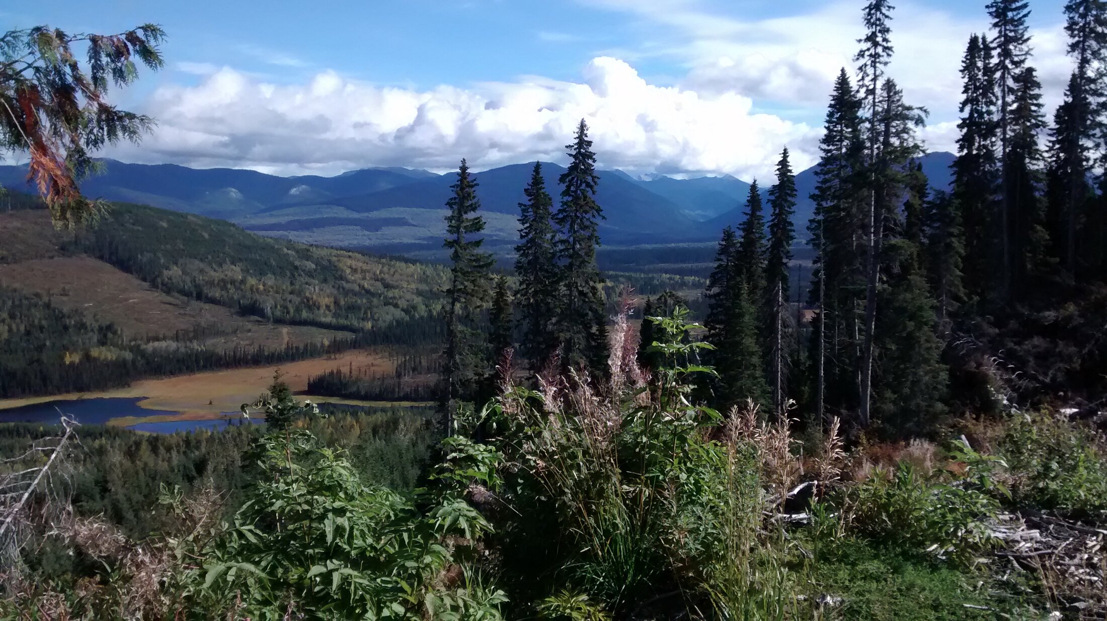
The CR property lies in the Wells–Barkerville area of the Cariboo Region of BC and is held, together with the neighbouring Hedge Hog property, as part of a group of three road-accessible claims staked by Eastfield in 2013 and 2014. Historical exploration in the area focused on the search for Besshi-type volcanogenic massive sulphide (VMS) deposits, and the surrounding district has a long history of placer and lode gold production. The property is 100% owned by Eastfield Resources; no option or joint-venture agreement is in place.
Geology & Target Model
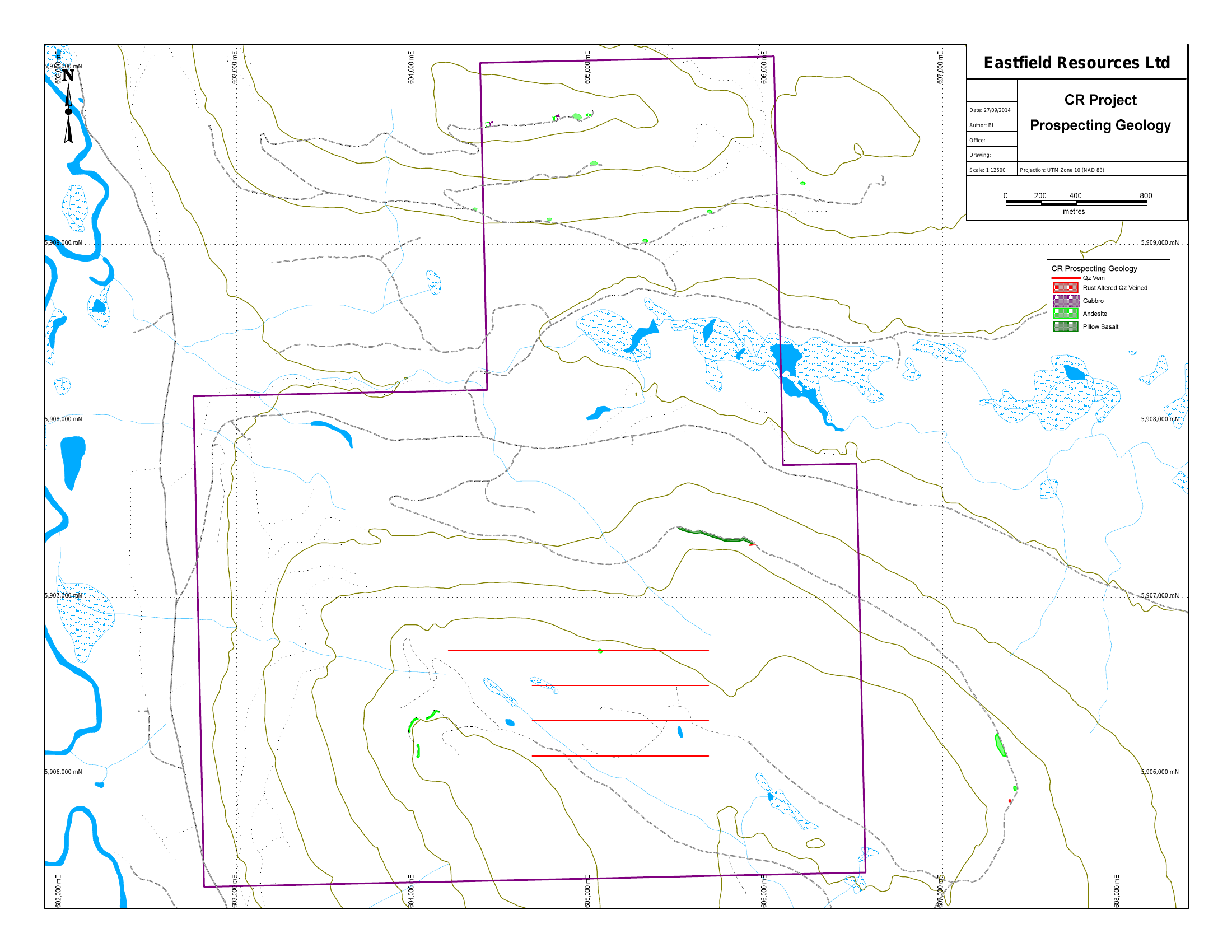
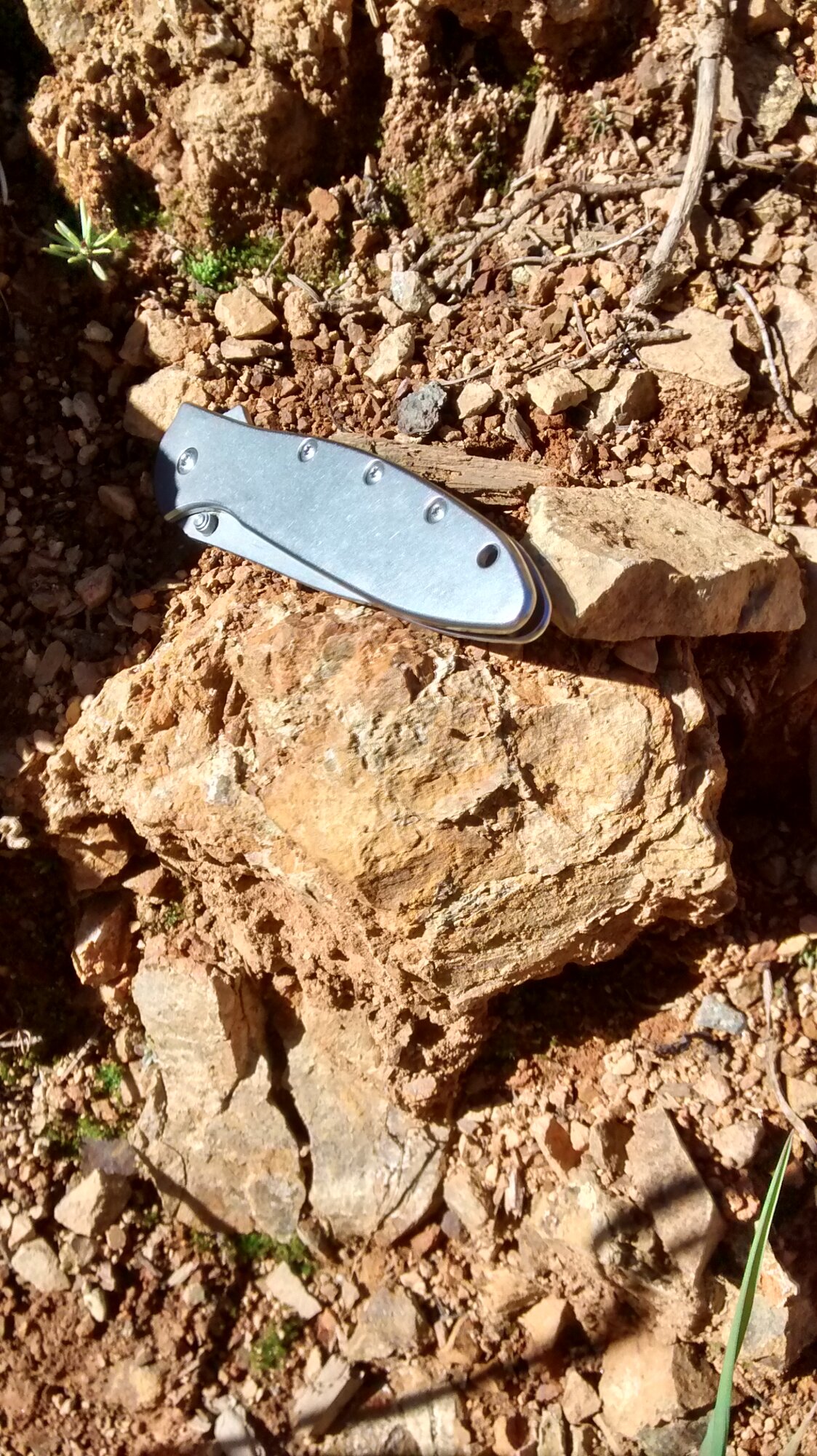
The property lies within the Mississippian to Permian Slide Mountain Terrane, structurally underlain by the gold-endowed Upper Proterozoic–Paleozoic Barkerville Group meta-sediments that host the Wells–Barkerville district's substantial placer and lode gold production. Held together with the neighbouring Hedge Hog claims, the ground shows quartz–iron-carbonate alteration and an association with base-metal sulphides typical of the area, with occurrences of well-mineralized massive sulphide float indicating potential for Besshi-type volcanogenic massive sulphide (VMS) mineralization.
Technical Highlights
A five-axis snapshot of the asset: physical footprint of the mineralized system, drilling history and intent, geophysical signature, optionality retained for shareholders, and the regional scale at which the project operates. Quantitative values shown are management estimates pending Qualified Person verification.
Well-mineralized massive sulphide float · quartz–iron-carbonate alteration
Drill targets to be defined from surface work
Trenching & ground geochem contemplated for drill targeting
Wholly owned — full exposure to exploration success
Wells–Barkerville · historic Cariboo gold district
Exploration Highlights
- 01
Historical exploration in the area focused on the search for Besshi-type volcanogenic massive sulphide (VMS) deposits; the ground shows quartz–iron-carbonate alteration and an association with base-metal sulphides.
- 02
Property is 100% owned by Eastfield Resources — no option or joint-venture agreement is in place.
- 03
Held together with the neighbouring Hedge Hog property as part of a group of three road-accessible claims staked by Eastfield in 2013 and 2014.
- 04
Situated in the Wells–Barkerville district, host to substantial historical placer (~4 million oz) and lode (~1.2 million oz) gold production hosted in the underlying Barkerville Group.
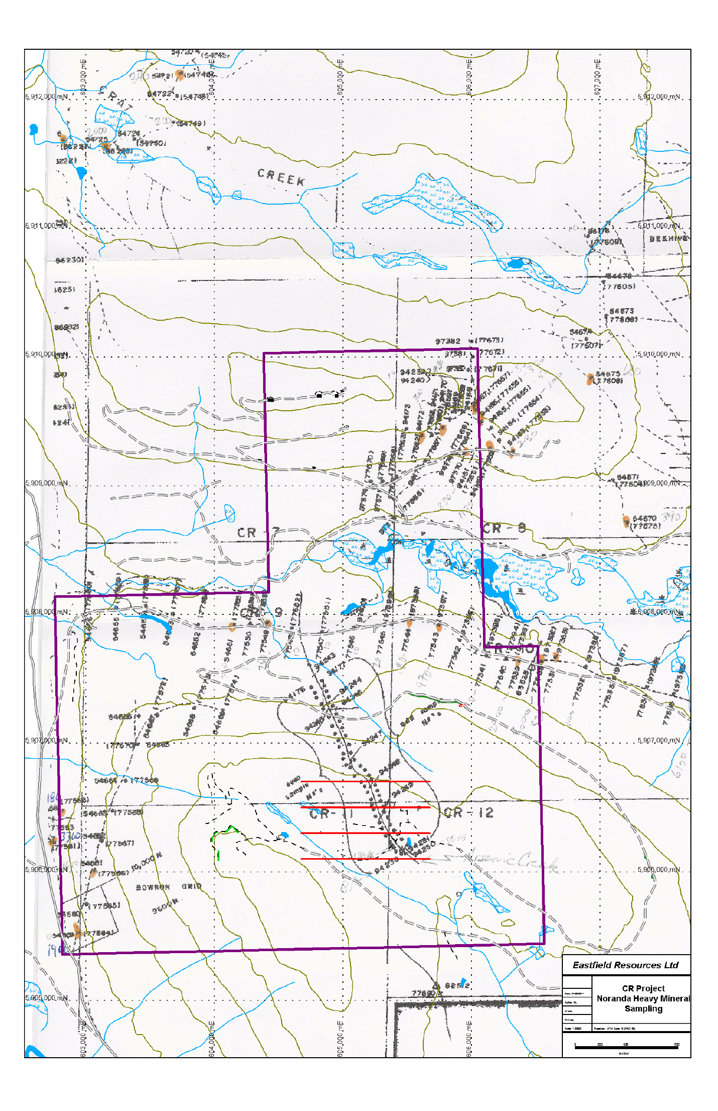
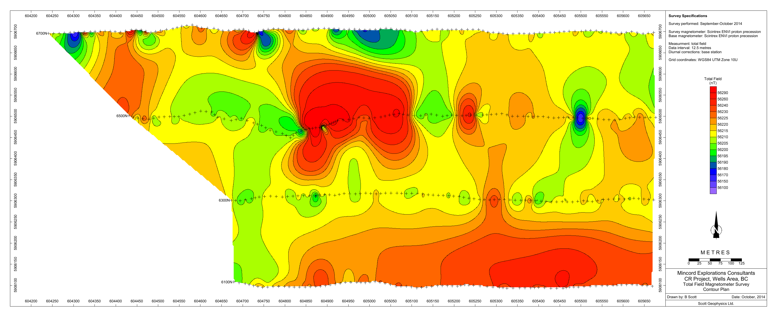
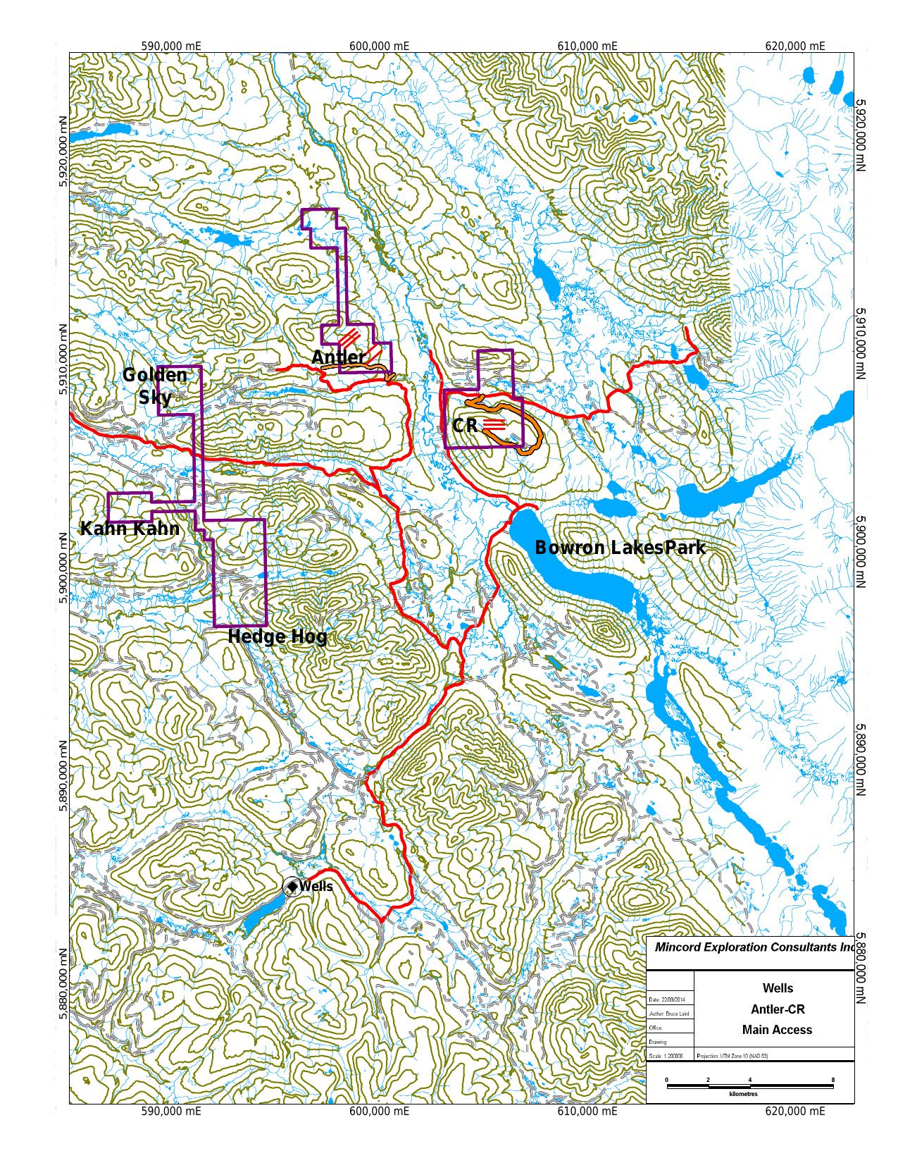
Maps, Figures & Camp
Ownership, Partner Status & Next Steps
Ownership & Option Status
The CR property is 100% owned by Eastfield Resources. No option, joint-venture, or earn-in agreement is in place.
Planned Next Steps
Advance targeting through reconnaissance mapping, prospecting, and surface geochemistry, and define drill targets subject to review by a Qualified Person.
Technical Disclosure — National Instrument 43-101
Scientific and technical information on this page is subject to verification by a Qualified Person as defined by National Instrument 43-101 — Standards of Disclosure for Mineral Projects. J.W. (Bill) Morton, P.Geo., President and CEO, and Glen Garratt, P.Geo., Vice President, Exploration, serve as the Company's designated Qualified Persons.
Project History & Timeline
- HistoricalCariboo gold district
The property lies in the Wells–Barkerville area, a district with a long history of placer and lode gold production.
- 2013–2014Property staked
Eastfield stakes the road-accessible CR claims — held together with the neighbouring Hedge Hog property — in the Wells–Barkerville area.
- PlannedSurface exploration
Reconnaissance mapping, prospecting, and ground geochemistry to define initial targets across the claims.
Exploration Programs
Surface exploration
PlannedTargeting through reconnaissance mapping, prospecting, and surface geochemistry across the claims.
Drill targeting
PlannedDefinition of drill targets from surface exploration results.
Technical Reports & Disclosure
Public
Public records of historic Cariboo placer and lode gold production. Historical and not verified by Eastfield's QP.
Formal NI 43-101 technical reports, when filed, are available under the Company's profile on SEDAR+. Documents listed above include historical, third-party, and internal materials that have not been verified by Eastfield's Qualified Person.
Frequently Asked Questions
Who owns the CR property?
The CR property is 100% owned by Eastfield Resources. No option or joint-venture agreement is in place.
How is CR being advanced?
Consistent with the Company's project generator model, Eastfield advances CR through low-cost surface exploration. Any quantitative results will be disclosed following verification by a Qualified Person under NI 43-101.
What is CR prospective for?
CR lies in the Wells–Barkerville area, where historical exploration focused on Besshi-type volcanogenic massive sulphide (VMS) deposits, within a district known for substantial placer and lode gold production. Eastfield is advancing it through low-cost surface work; any quantitative results will be disclosed following verification by a Qualified Person under NI 43-101.
Related Knowledge & Resources
Knowledge Centre
Glossary Terms
Formal NI 43-101 technical reports for Eastfield's properties are filed under the Company's profile on SEDAR+.
Open SEDAR+ Profile